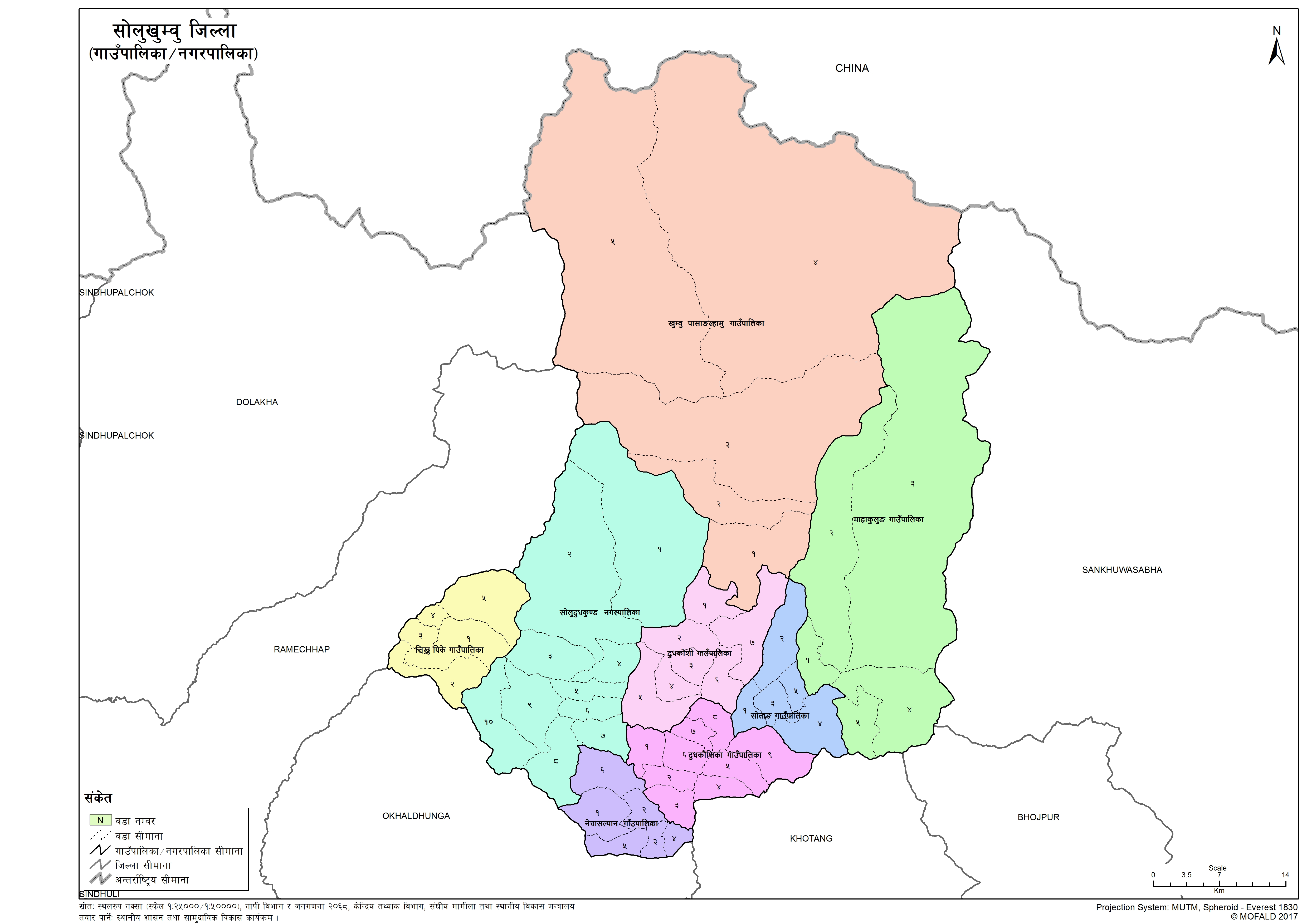
Solukhumbu
Introduction
Solukhumbu District is one of 14 districts of Province No. 1 of eastern Nepal. As the name suggests, it consists of the subregions Solu and Khumbu. The district, with Salleri as its headquarters, covers an area of 3,312 km2 (1,279 sq mi) and had a population 107,686 in 2001 and 105,886 in 2011.
×
![]()
Graphical Representation
Population :
Area :
Detail of the Formation of Solukhumbu with old and new wards
The contents are not available right now


