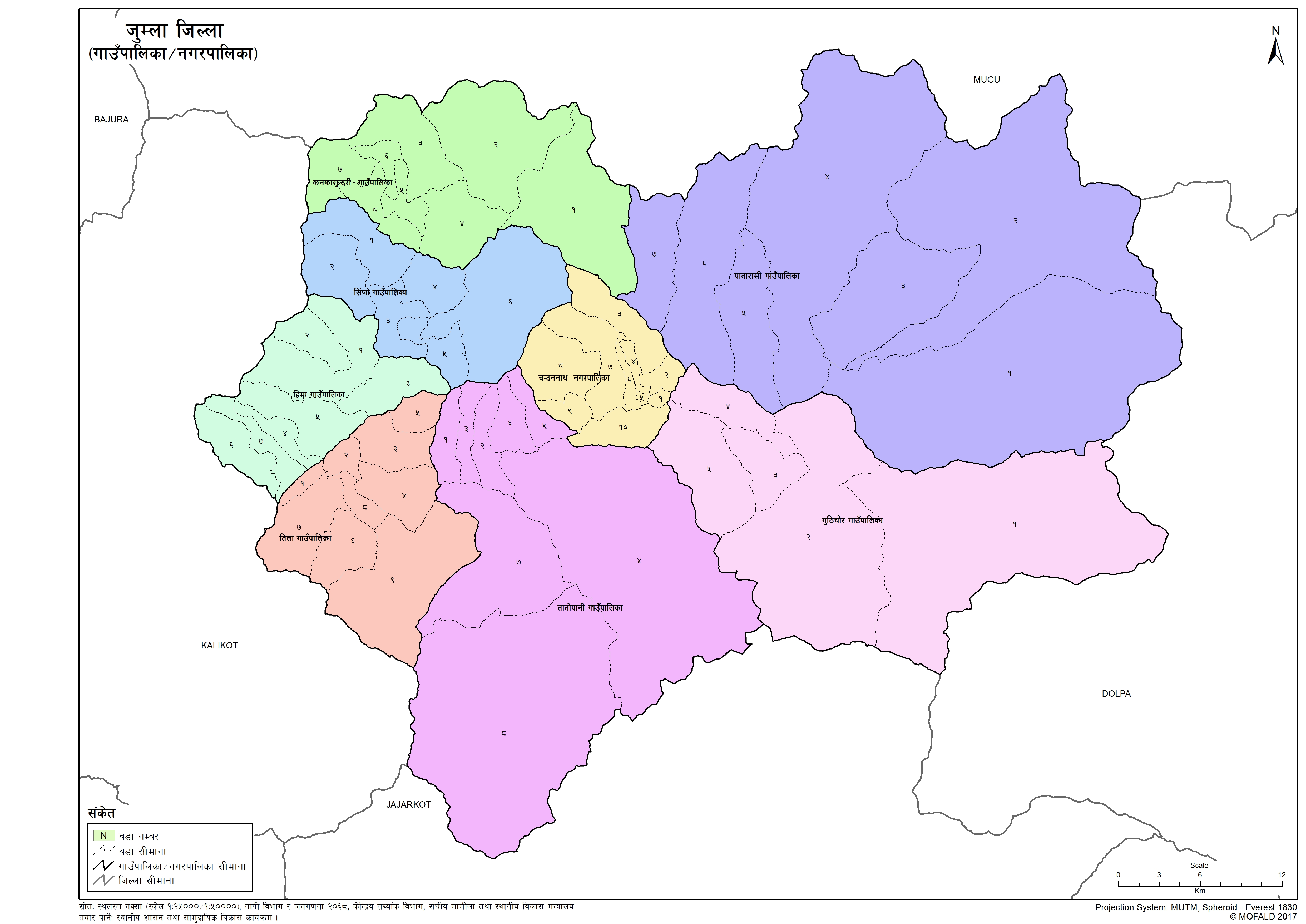
Jumla
Introduction
Jumla District is one of the ten directly constituent districts of the Karnali province of Nepal. This district has Jumla as its headquarters, an area of 2,531 square kilometers (977 sq mi); it had populations of 89,427 and 108,921, respectively, in the national censuses of 2001 and 2011. Its territory lies between longitudes 81⁰ 28' and 82⁰ 18' East and between latitudes 28⁰ 58' and 29⁰ 30' North.
×
![]()
Graphical Representation
Population :
Area :
Detail of the Formation of Jumla with old and new wards
The contents are not available right now


