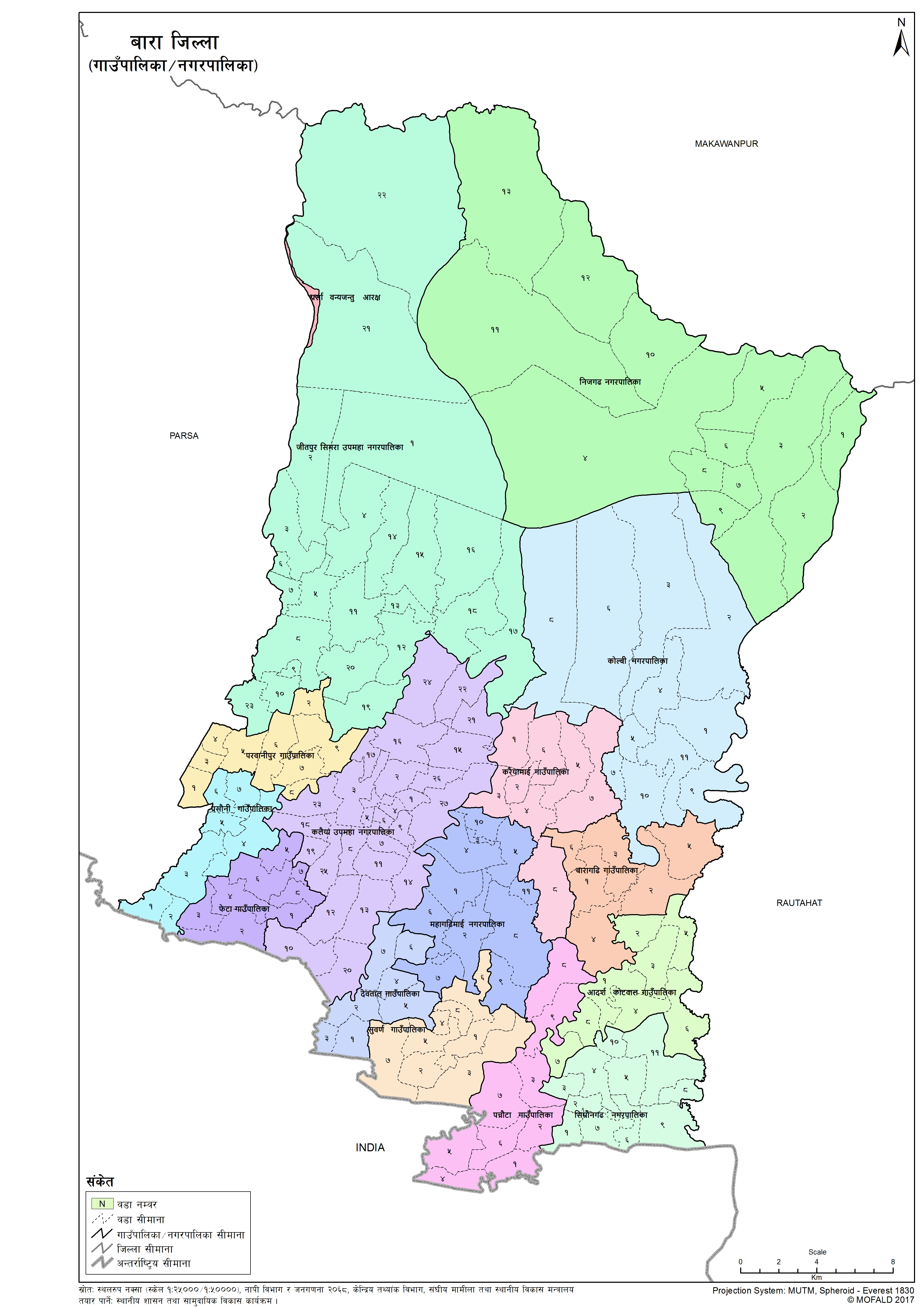
Bara
Introduction
Bara District lies in Province No. 2. It is one of the seventy-seven districts of Nepal. The district, with Kalaiya as its district headquarters, covers an area of 1,190 km2 (460 sq mi) and has a population (2011) of 687,708. Bakaiya, Jamuniya, Pasaha, Dudhaura and Bangari are the main rivers of Bara. The main languages spoken in Bara are Bhojpuri, Bajjika, Tharu and Nepali.
×
![]()
Graphical Representation
Population :
Area :
Detail of the Formation of Bara with old and new wards
The contents are not available right now


